")
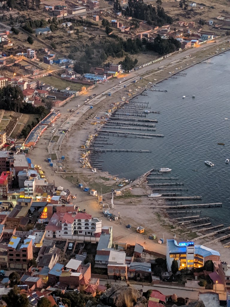
Ever since Chile gained control of the former Bolivian department of Litoral on the Pacific coast*, Bolivia has been a landlocked country, and today, Copacabana boasts the only beach in Bolivia. On the weekends, this place is hopping. Tourists come up from La Paz to spend the weekend at the beach. The South American Tourist Trail that Bryn and I are sampling goes right through here, and there is a constant cycle of boats leaving from here to head to Isla del Sol and Isla de la Luna.
While we ended up skipping the day trips to the Islas (see previous comments about how relaxing and comfortable and lovely our hostel was, and how tired we were when we arrived), we did manage to do a little sightseeing.
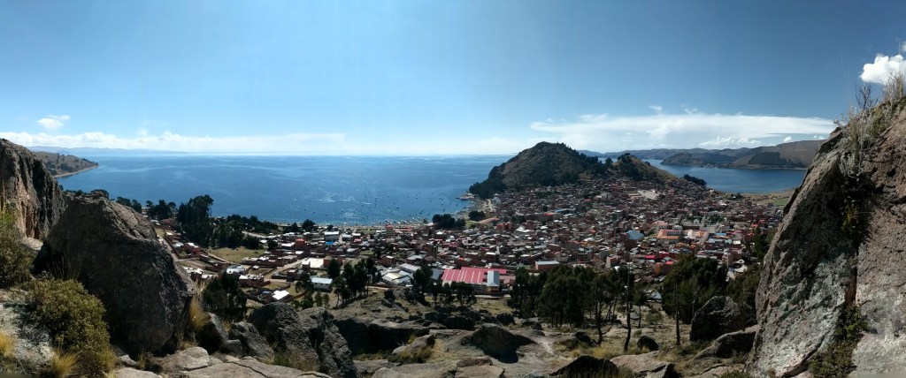
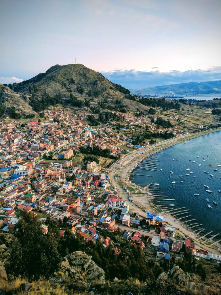
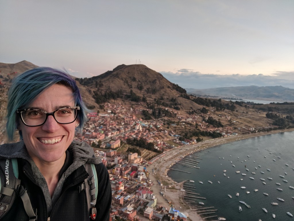
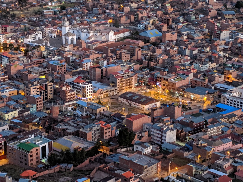
Copacabana is a colourful town, cradled in a gently curving bay between two headlands – Cerro el Calvario to the north, and Horca del Inca to the south. Both are popular tourist outings, and you can walk-scramble to the top. They’re steep and rocky, and at an elevation of somewhere over 3800m, they’ll also make you breathless – the views are worth it, though.
We set out around midday, and despite the altitude and the stiff breeze off the lake, it was hot hot hot. Our first mission was to solve the money problem, and we rambled back and forth through town looking for a bank machine that would accept our cards and give us Bolivian Pesos. Most of the banks had been closed all weekend, and we were still running a tab at the hostel for all our food. Eventually we got it sorted after sitting in a bank and talking to someone in person. A relief – the rest of Bolivia was starting to feel like it was going to be on even harder mode if we’d hadn’t been able to get enough local currency. Unlike Ecuador and Peru, Bolivia seemed to run more on its own currency, and less on American dollars.
Our first sightseeing destination was Horca del Inca. We’d been told to go do it, but as far as what it was about, it was a bit of a mystery. It was definitely a hike up a hill to an “astronomical observatory” but the specifics beyond that were unclear. It was possibly pre-Incan. Or maybe Incan. Or maybe more recent? We wandered around the area in a general uphill direction trying to find the correct trail, but there were no signs or directions from town.
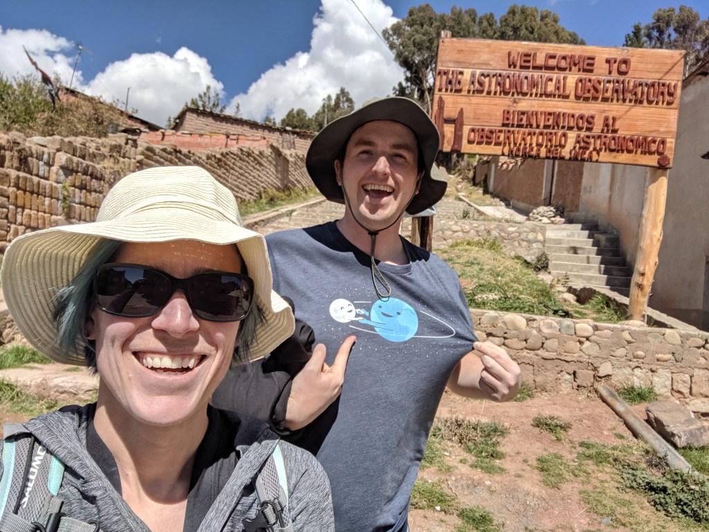
We eventually found the right trail, and dutifully stopped in at the “museum” part way up the hill and paid our admission fee – but there wasn’t really any information in the museum, either, and my Spanish wasn’t strong enough to make headway with the woman who was there. There’s a reasonable possibility that she would have been more comfortable speaking Aymara anyways. Undaunted, we proceeded to the summit.
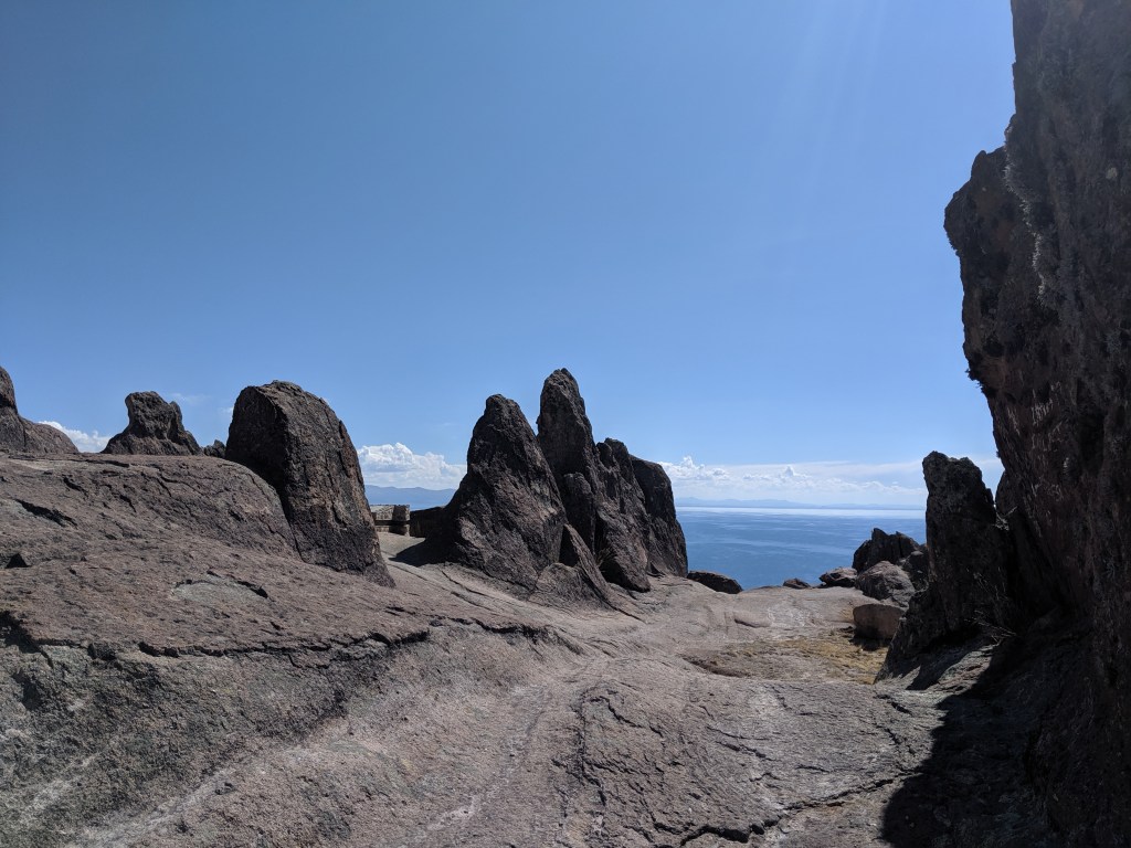
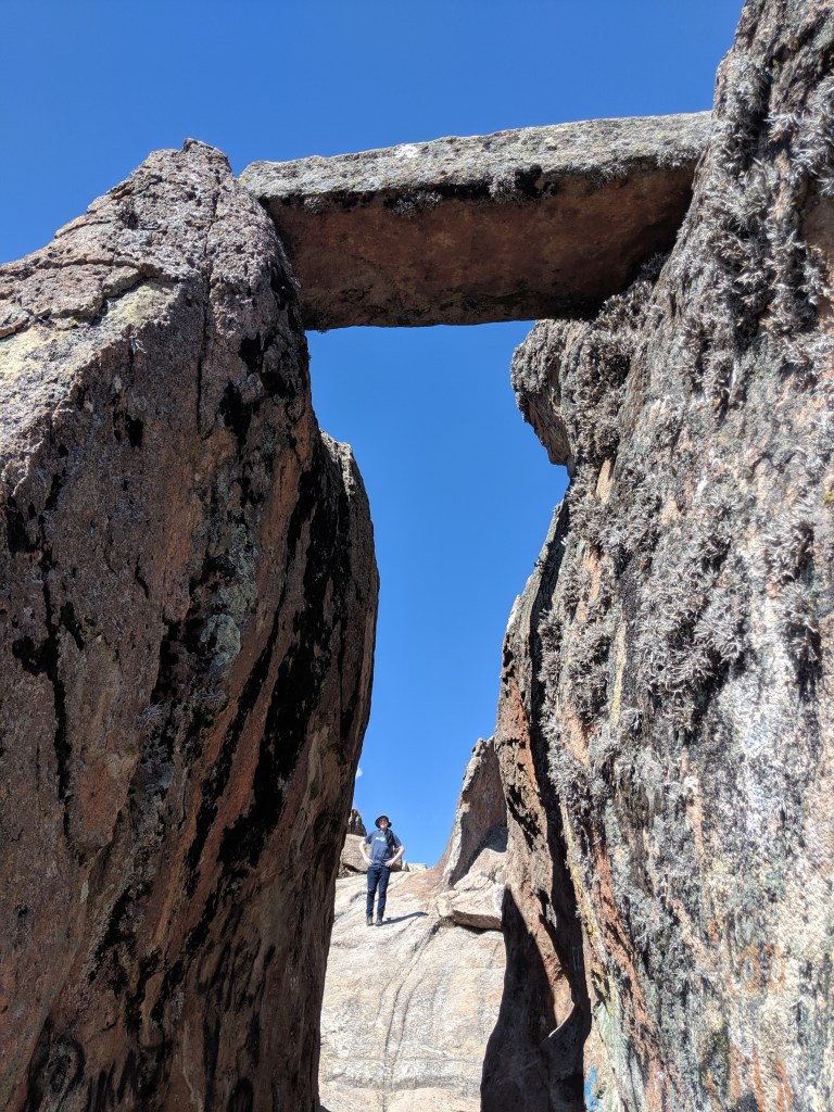
Once at? near? on? the summit, we still weren’t sure what we were looking for. Was the entire hill the observatory, maybe? We wandered around for a while, looking for whatever it was we were trying to find up there: lots of great rock formations. Not a lot of shade.
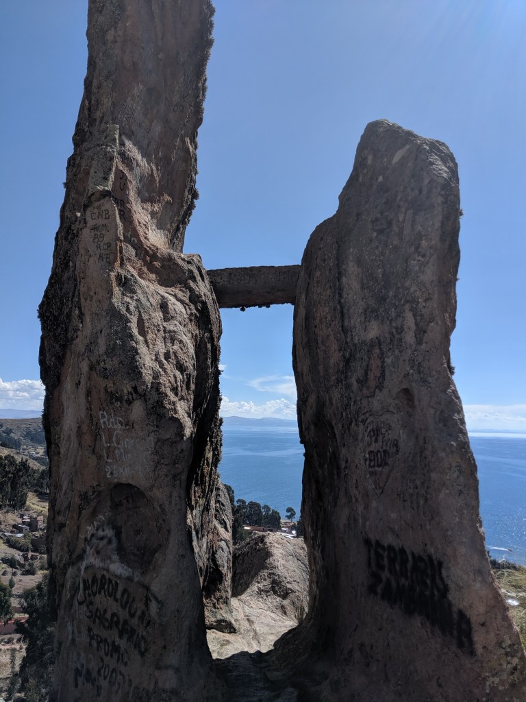
We eventually decided this H-shaped structure must be the thing we were looking for, so we took photos from both sides.
Good job, us! We found the thing!
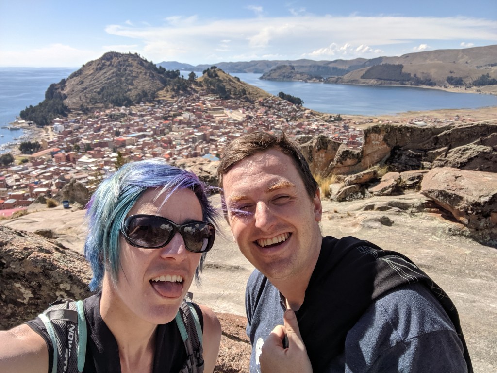
Sun, wind and altitude leave you tired and dehydrated and essentially unable to determine which factor caused what effect. Here we are looking very ready to head back to the hostel. Seems far. But downhill, at least?
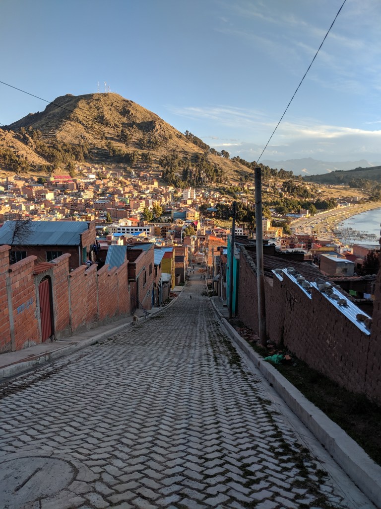
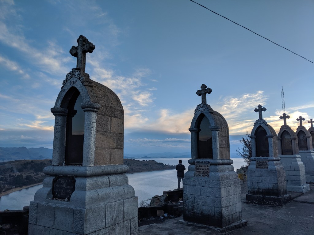
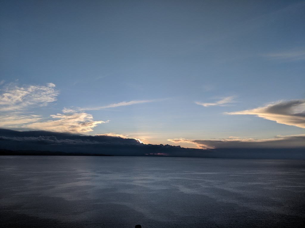
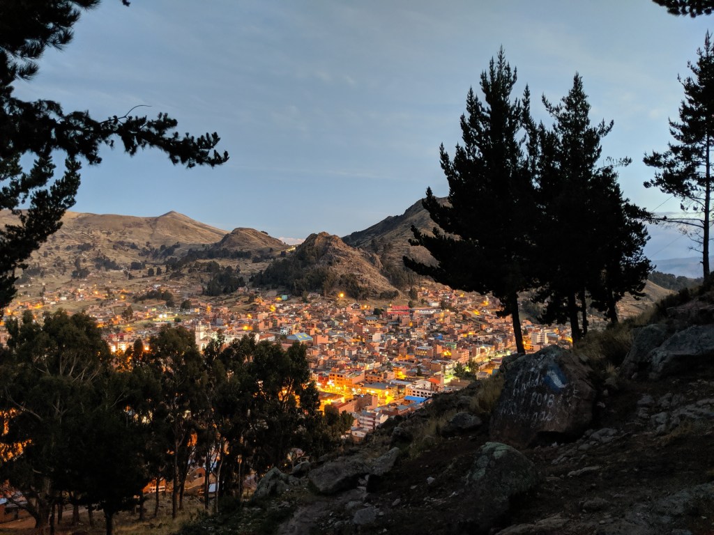
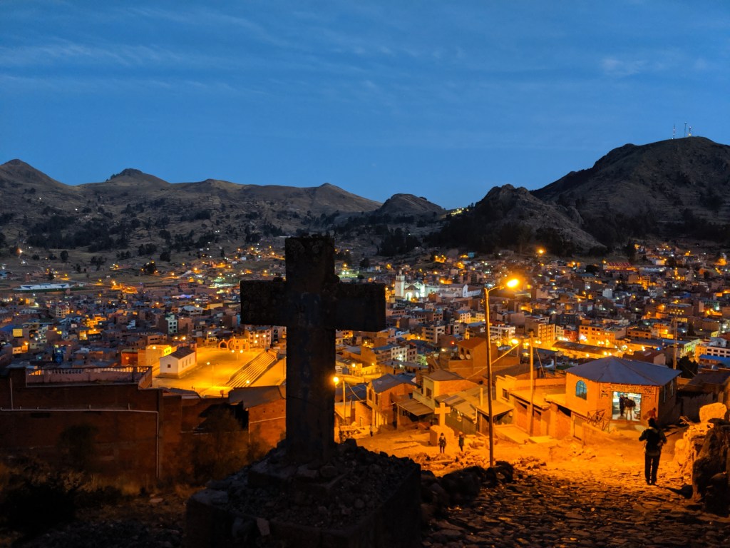
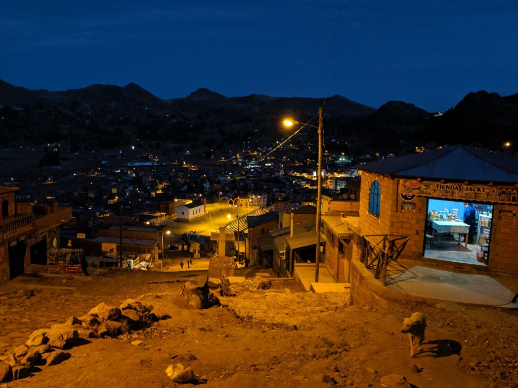
The next evening, I set out on my own to climb up Calvario, the hill behind the hostel, to watch the sunset. I didn’t set out until the sun was already well on its descent, so it was already pretty dusky by the time I got to the summit.
It’s called Calvario because the hike is punctuated with the stations of the cross. It’s basically straight up.
* This happened after the end of the War of the Pacific, also called the “Saltpeter War” in 1884. It was an interesting conflict involving taxes, counter taxes, treaty-breaking, secret treaties, and eventually railway shenanigans. Bolivians are still fairly understandably sore about losing their ports and ocean access, and we heard about it a LOT.
